Drone Roof Inspections in Johnson City, TN
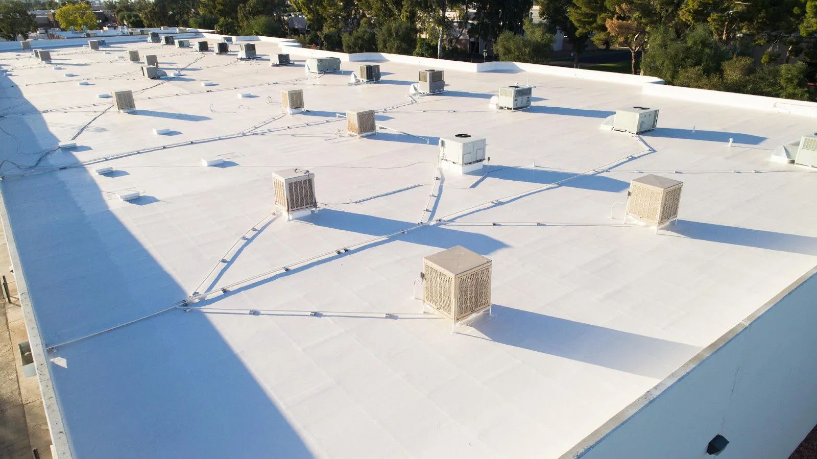
Ponding water on a large, flat roof is easy to miss from the ground and easy to miss on foot, because the low spots are shallow and the roof is wide. Yet that water, sitting in the same depression after every rain, speeds the breakdown of the membrane, stresses the deck and pulls dirt into the seams, and it is a pattern that only appears when the whole roof is seen at once. A drone provides that view. It flies a planned path above the roof, captures overlapping images that can be stitched into a single map, and records each defect where it sits, without anyone having to cross a fragile surface or climb a ladder to reach it. For owners of big or hard-to-access buildings in Johnson City, TN, aerial imaging turns a slow and sometimes risky survey into a complete record in a fraction of the time.
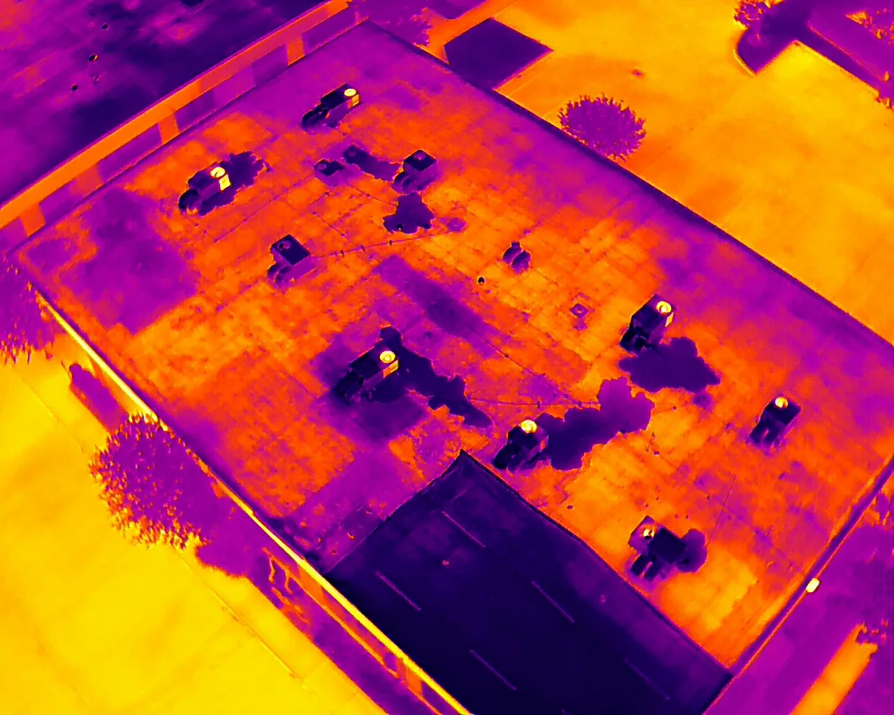
What does a drone see that a person on the roof cannot?
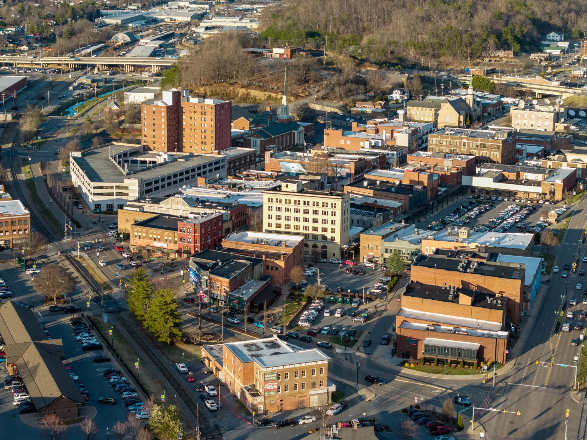
Scale and angle are the advantages. From the air, drainage patterns become visible: water stains that trace where ponding water recurs, discoloration along seams, streaks below a failing flashing, and areas where debris has collected at drains. Seams, laps and edge metal can be examined at close range from several directions, including along parapets and above rooftop equipment that is awkward to approach. High-resolution still images let us zoom to the level of individual fasteners or a cracked sealant joint, and a mapped composite lets us mark and measure each finding against a plan of the roof. When the conditions are right, a thermal camera adds a second layer, showing temperature differences that can indicate trapped moisture, although those readings need confirmation on the roof through an infrared moisture survey and core samples.
See the whole roof before you decide what to do with it
Call Commercial Roofing Johnson City to schedule a drone survey of a large or hard-to-reach roof. You will get a mapped record, annotated findings and a clear next step.
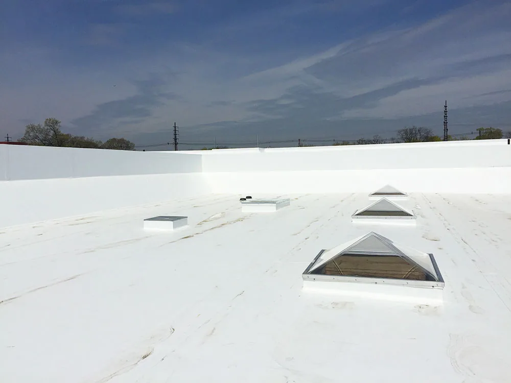
Which roofs are better flown than walked?
The strongest cases are roofs where walking is slow, risky or likely to cause damage. Large distribution and manufacturing buildings, the type found in the Washington County Industrial Park, often have wide uninterrupted roof areas where a drone covers more ground in minutes than a person can in hours. Roofs with skylights, old or brittle membranes, steep metal panels, high parapets or limited access are hazards for foot traffic, and imaging from above keeps people off them. The wide roofs of big box retail centers benefit from the same approach. For smaller roofs with simple access and a modest number of details, a hands-on walk is usually the better choice, and we say so rather than sell an aerial survey where it adds little.
Where does aerial imaging fall short?
A drone cannot press on a membrane to find a soft spot, cut a core to measure the insulation, or feel whether a seam is truly bonded. It cannot see under equipment, inside a drain sump or beneath debris. Thermal imaging is sensitive to conditions, so it works best on a clear day followed by a cool evening, and it can mislead when a roof is covered in ballast, wet from recent rain or shaded. For those reasons, we treat the drone as a way to find and document, and we follow up with a ground visit wherever the images show something that matters. The combination is what makes up a complete commercial roof inspection. Used alone, aerial imaging is a screening tool, and we describe its findings that way in the written report.
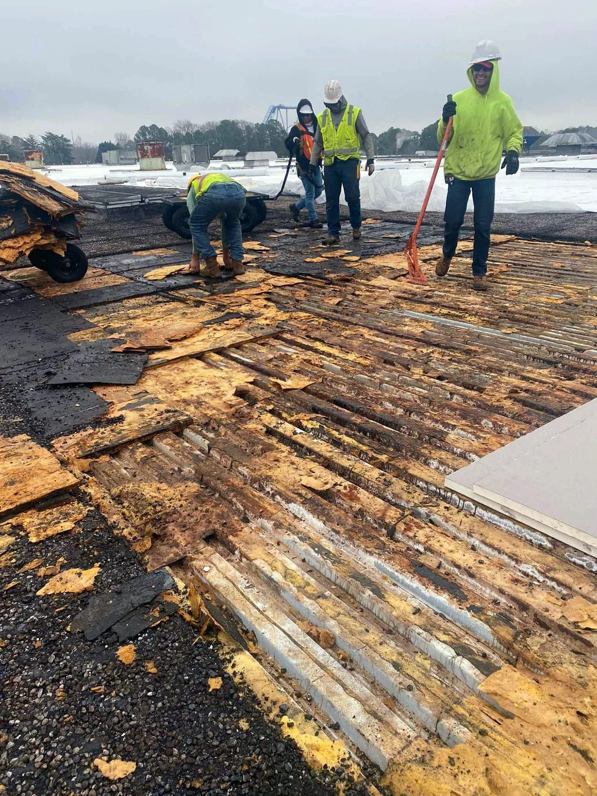
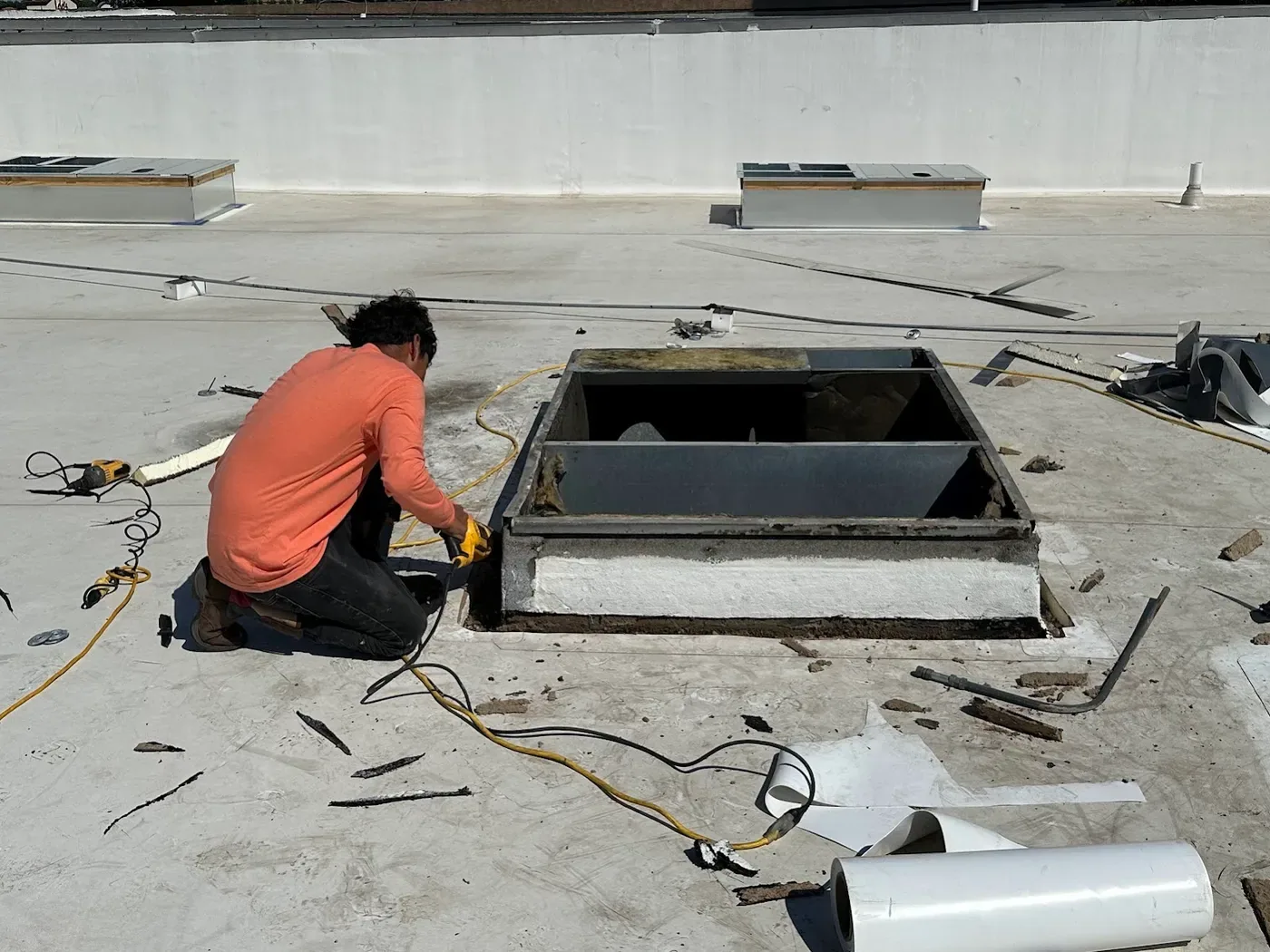
What does the deliverable look like, and how long does the work take?
The flight itself is quick, often a fraction of a day even for a large building, and the effort goes into planning before it and analysis after. We set the flight path and altitude to give the image overlap that the mapping software needs, coordinate with the building contact so that tenants and operations are not disturbed, and capture the roof in a single session when conditions permit. Afterward, we review the images, mark each finding on a roof plan, and prepare a written report with annotated photographs, measurements and a ranked list of recommended work. Owners with several properties can have each building documented in the same format, which makes comparison and budgeting easier through multi-site roof programs. The report becomes part of the file, and a repeat flight a year later shows exactly what has changed.
What does flight planning involve in the Tri-Cities?
Weather governs the schedule. Wind, rain and low temperatures limit safe flights, and winter lows in the Johnson City area average about 25F, which drains drone batteries faster and makes the best imaging windows shorter. Spring and fall tend to offer steadier conditions. Airspace is also a consideration near airports, and Tri-Cities Regional Airport covers 1,250 acres in Blountville, so for a roof near the field we confirm what authorization a flight requires before we schedule it. Occupied buildings add a human element, because people may be working or visiting beneath the flight path, and we coordinate access so that the work does not disturb them. After heavy rain or storm events, a flight is a fast way to see damage across a large roof before deciding whether it needs emergency work.
Aerial images are most useful when they answer a ground-level question. We plan the flight around roof zones, capture overlapping views of the field and perimeter, and pair close images with a roof plan so a manager can find each condition later. Shadows, wet surfaces and objects blocking a detail can make a photo inconclusive; those areas should be marked for a safe closer look rather than interpreted from a distance. The deliverable is a condition map, not a substitute for checking suspect seams, soft insulation or loose metal by hand.
After the flight, we sort images into visible drainage concerns, defects needing closer inspection, and areas that appear serviceable. A numbered roof plan helps maintenance staff find each condition later. If a photo cannot show what lies beneath a curb or whether insulation is firm, the report identifies the hands-on check needed next.
Commercial Roofing Questions
What decides whether a drone inspection is enough on its own?
The question being asked decides it. If the goal is to document general condition, find obvious defects or plan a visit, aerial imaging may be enough. If the goal is to know whether insulation is wet, to size a repair or to support a replacement decision, a ground visit and moisture testing are needed in addition.
Does the building have to be closed or the tenants informed?
A drone flight over a roof does not usually require closing the building, but we let the property contact know when we will be there, and we avoid flying over areas where people gather. Sensitive facilities may set additional rules, which we follow.
How detailed will the images be?
A high pass produces a map of the whole roof, and lower passes capture close detail of seams, flashings and equipment. We combine both so that you can see the overall picture and zoom to a single fastener when needed.
Can imaging replace a roof walk for a warranty or an insurance claim?
Only where the warranty or insurer allows it. Some require an on-roof inspection or specific documentation, and images supplement that record well. We check what is required before the work begins and keep the images with the written findings.
How much of the cost of a roof survey does a drone save?
On large, open roofs the saving is substantial, because the images replace hours of walking and make the follow-up visit shorter and more targeted. On small roofs the saving is minor, and we will recommend a walk instead.
Related Roofing Pages
Ponding Water Roof Repair
How the work is scoped, phased and documented on Tri-Cities roofs.
Infrared and Core-Cut Moisture Surveys
What we check, what we recommend and how the crew keeps the building running.
Washington County Industrial Park
Conditions, options and next steps for commercial buildings in East Tennessee.